

Trail Map: 2022 Pikes Peak & Tarryall – Lake George – Eleven Mile
$15.99
This map illustrates trails, scenic roads, public lands and recreation sites in Pikes Peak (side one), and Tarryall-Lake George-Eleven Mile (side two) area of Colorado.
1287 in stock
Description
Full Size: 27” x 28.5”
Folded Size: 7″ x 7″
Full Color: 2 Sided
Paper: Tear & Water Proof Plastic
Full Map Description
This map illustrates trails, scenic roads, public lands and recreation sites in Pikes Peak (side one), and Tarryall-Lake George-Eleven Mile (side two) area of Colorado. The maps include off-highway vehicle (OHV) trails & roads, trailheads, campgrounds, fishing locations, and non-motorized trails (hike, bike, horse). The map is designed to be used by all outdoor recreation enthusiasts. The map is a great resource for dirt bike & OHV riding, 4×4 riding, scenic driving, hunting, dispersed camping, mountain biking, hiking, and many more activities. We hope you find this Great Outdoors Map useful! This is a Great Outdoors Adventures (GOA) product.
Notes
- Available for wholesale purchases, 25 maps per package minimum
- Suggestions to improve the map are appreciated!
Smart Map Edition
Use this map with the GPS on your Smart Phone!
Would you like to know exactly where you are on the map? A “smart” version of these maps are available through the Avenza Maps app for a charge of $14.99. Visit the GOA online store for a link to the maps and Avenza app.
Download the map on Avenza!
Additional information
| Weight | 2.6 oz |
|---|---|
| Dimensions | 7 × 7 × 0.2 in |
| Paper | Tear & Water Proof Plastic |
| Format | Folded to 5.4" x 6.5" |
| Package | 1 |
Related products
-

Rampart Range Trails Folded Map
$11.99 Add to cart -

Alamo Lake Off-Road Guide
$6.99 Add to cart -

Woodland Park Hike & Bike Wall Map
$14.99 Add to cart -
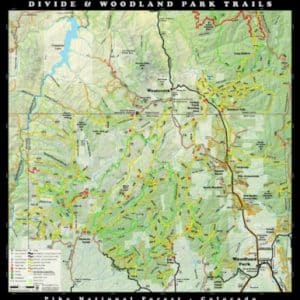
Divide & Woodland Park Trails Map – 2024 Edition
$15.99 Add to cart -

Estes Park Wall Map
$14.99 Add to cart -

Woodland Park Hike & Bike Folded Map
$6.99 Add to cart

Reviews
There are no reviews yet.