


Rampart Range Trails Folded Map
$11.99
Located in the Pike National Forest about 35 miles southwest of Denver, Colorado are more than 150 miles of trails for off-road motorcycles and ATVs. There are also 27 miles of dirt roads open to these vehicles. This area is known as the Rampart Range Motorized Recreation Area. This area has new premier single-track dirt bikes trails!
1948 in stock
Description
Full Size: 20 x 27.5
Folded Size: 5.4 x 6.6
Full Color: 2 Sided
Paper: Water/Tear Proof Plastic Paper
Publish Date: June 2025
All proceeds for this map are donated to RRMMC. Go to www.RampartRange.org
Full Map Description
Located in the Pike National Forest about 35 miles southwest of Denver, Colorado are more than 150 miles of trails for off-road motorcycles and ATVs. There are also 27 miles of dirt roads open to these vehicles. This area is known as the Rampart Range Motorized Recreation Area. This area has new premier single-track dirt bikes trails!
This map and guide to the Rampart Range Motorized Recreation Area is provided by the Rampart Range Motorcycle Management Committee (RRMMC) www.RampartRange.org. RRMMC is an all-volunteer, nonprofit corporation founded in 1972 to work with the Forest Service to promote and preserve riding opportunities in the Rampart Range. The South Platte Ranger District of the USDA Forest Service and the RRMMC has successfully worked together maintaining the trail system for over 35 years. This 2-sided map was designed by Great Outdoors Adventures.
Download the map on Avenza!
Additional information
| Weight | 2.6 oz |
|---|---|
| Dimensions | 5.5 × .25 × 4.25 in |
| Paper | Water/Tear Proof Plastic Paper |
| Format | Folded to 5.4×6.6" |
| Package | 25 |
Related products
-

Buena Vista & Salida Trails Folded Map
$14.99 Add to cart -
Woodland Park Hike & Bike Wall Map
$14.99 Add to cart -
Trail Map: 2022 Pikes Peak & Tarryall – Lake George – Eleven Mile
$15.99 Add to cart -
Estes Park Wall Map
$14.99 Add to cart -
Essence of Estes Park Map Digital – Draft
$14.99 Add to cart -
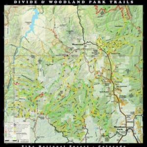
Divide & Woodland Park Trails Map – 2024 Edition
$15.99 Add to cart


Reviews
There are no reviews yet.